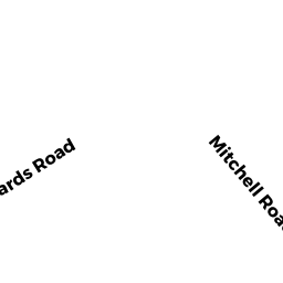
13 MITCHELL RD
Owner Information
GRAF BRENDAN B, T/E
13 MITCHELL RD
LYNNFIELD, MA 01940


Property Details
13 MITCHELL RD is classified as a Single Family Residential (Cape).
The primary structure on this property was built in 1954. There are 2,173ft2 of built area within this property. There is 2,173ft2 of residential/living space within this property. This property is listed as having 6 rooms.
13 MITCHELL RD is valued at $703,500. The land is valued at $457,000 and the structures are valued at $246,000. There is an additional valuation of $500 on this property.
This property is in Zone RA. Confirm with local Zoning Board authorities to ensure there are no overlays or other easements on this property.
The most recent deed for 13 MITCHELL RD is recorded at the local registrar in Book 36331, Page 345. 13 MITCHELL RD was last sold on Wednesday, November 15, 2017 for $610,000.
Assessment data from fiscal year 2022.
Flood Data
According to the FEMA National Flood Hazard Layer, this property does not appear to be in a flood zone. It may also be in an area not yet reviewed. Nonetheless, confirm this information prior to taking any action.
To view the flood hazards around this property, create a FEMA "Firmette" Map of the area around 13 MITCHELL RD.
Broadband Internet Providers
| Provider | Type | Bandwidth (mbps) | |
|---|---|---|---|
| Verizon New England Inc. | Fiber | 940 | 880 |
| VSAT Systems, LLC. | Satellite | 2 | 1 |
| Comcast | Cable | 1000 | 35 |
| T-Mobile | Fixed Wireless | 25 | 3 |
| GCI Communication Corp. | Satellite | 0 | 0 |
| HughesNet | Satellite | 25 | 3 |
| Verizon New England Inc. | DSL | 10 | 1 |
| Viasat Inc | Satellite | 100 | 3 |
Broadband service provider data from December 2020.
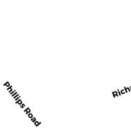
Adjacent Properties
- 11 MITCHELL RD
Single Family Residential owned by DIRICO PAUL M - 15 MITCHELL RD
Single Family Residential owned by MALENFANT MICHAEL EDMOND T/E - 10 RICHARDS RD
Single Family Residential owned by HOFFMAN ANNMARIE B - 12 RICHARDS RD
Single Family Residential owned by KOSIAN RICHARD P - 14 RICHARDS RD
Single Family Residential owned by PRISCO MATTHEW A, T/E